
Five Tribes Overland Trail
- OTG Crew

- Mar 23, 2023
- 6 min read
Updated: Dec 22, 2025
Honoring the Native American tribes which once inhabited the territories it crosses, the Five Tribes Overland Trail (FTOT) stretches 1358 miles from the Texas Gulf Coast to the Sacramento Range of the Rocky Mountains in New Mexico.


Route Contributor

A native Texas, Todd Greenberg founded Go Native overland to encourage people to get out an explore Texas, New Mexico, and the surrounding areas. Todd's passion for the outdoors eventually led him to overlanding long before it became a buzzword. He's traveled far and wide across the North American continent including 49 US States, 7 Canadian provinces, and 8 Mexican states. Not satisfied with being merely just another 'tourist on wheels', Todd strives as much as possible to immerse himself in local communities and cultures. This philosophy is what led to the founding of Go Native Overland in 2017.
Route Overview
Trip Length & Season
Adventure Rating: Epic Trip Length: 1,358 miles, 6 - 10 days. Season: Year round. However, we recommend going between October - May to beat the heat.
Technical Ratings & Terrain
Avg Technical Rating: 1-2
Peak Technical Rating: 3
Typical Terrain: This track is approximately 60% dirt and 40% pavement. Graded dirt and gravel roads, and some connecting pavement. Expect some creek/river crossings as well. The route travels through/past Beaches, rolling hills, badlands, high plains, foothills, mountains.
Recommended Vehicle / Moto / Adventure Vans
Recommended Vehicle: AWD Crossover with AT tires.
Recommended Moto: Mid-weight and big adventure bikes should have no problems on this route.
Adventure Vans: Sprinter 4x4s are good to go.
Fuel, Provisions, and Recommended Gear
Fuel: There are numerous opportunities to refuel at towns/villages along the route, or short detours. You shouldn't have to travel more than 100 miles between fuel stops. Provisions: The same applies for provisions. There are numerous opportunities to restock along the route. Gear: no specialized gear is recommended for this adventure.
Alternative Routes
n/a
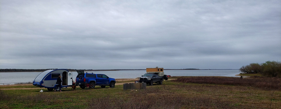
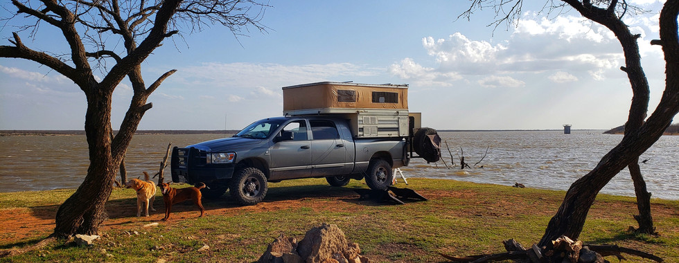
Camping Recommendations
Be sure to use the GPX file, which contains numerous campsites and campgrounds. Upon reaching New Mexico, opportunities for dispersed camping become an option as you enter BLM and other government managed land that's open to the public. Do not plan on dispersed camping in Texas, unless it's marked on the GPX file.
Discovery Points
n/a
Land Managers & Other Resources
Be sure to read this section and treat the ranch and its residents with respect.
Notes from Todd Greenberg:
Just north of Roswell, County Road 36 and 34 cross private ranchland, interspersed with occasional tracts of BLM land. Both roads meet--literally--in the rancher's horse corral! Outside of ranch vehicles, these roads likely see very little traffic at all. Our three vehicles were likely the most to travel on that road in months.
The rancher, concerned that we were lost tourists, met us along the road coming in. He was nice enough to offer some basic directions to us, and was helpful in opening the gate in his corral so we could head out on CR 34. We regretted not having anything we could leave him as a token of our appreciation. It is my hope that anyone traveling this route in the future might leave behind a bag of their favorite gourmet coffee (who doesn't like coffee?), or a bottle of wine or spirits. Please either hand it to the rancher in person, or place it outside the gate when you pass through. Make sure to not let the horses out!
Permits & Papers
n/a
Adventure Badge OTG has partnered with All Roads Taken to offer an adventure badge for this route. >> Buy your adventure badge today!

Route Details
Due to the limited acreage of public lands, Texas has never been much of an overland destination compared to some of its neighbors to the west, like New Mexico. Texas native son, Todd Greenberg is looking to change the public's perception about overlanding in Texas. The Five Tribes Overland Trail is a 1,358 mile long epic adventure that travels from Freeport along the Gulf Coast to Capitan Mountains just west of Roswell, New Mexico. The track can be traveled in either direction and is broken down into 5 distinct segments, each representing the ancestral home of a particular First Nations Tribe (Native American).
The Five Tribes
Starting in Freeport and moving westard towards New Mexico, the Five Tribes are broken down into 4 distinct segments along the track, which include
Karankawa & Tonkawa (Freeport to Waco)
Wichita (Waco to Truscott)
Comanche (Truscott to Roswell)
Mescalero (Roswell to Capitan Mountains)
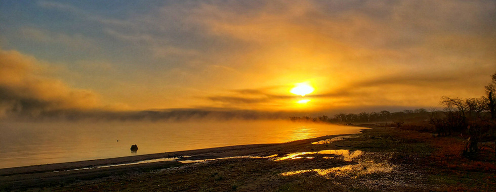
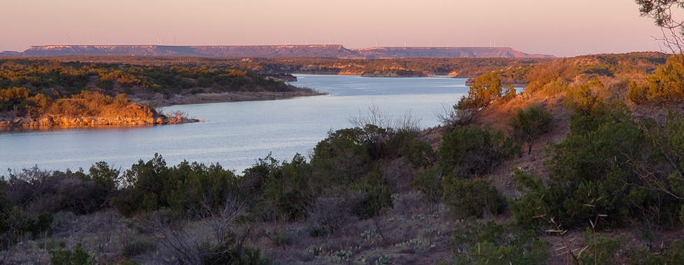
Starting just outside of Freeport at the Gulf, the scenery around these parts is what you might expect-- flat with a mixture of open fields and denser forested areas, especially along creeks and other waterways. Like the majority of the Five Tribes Overland Trail, the track is a patchwork of mostly dirt and gravel county roads. Sure you can take the highway that parallels the track, but what's the fun in that? This segment of the trail is filled with small cities, towns, and small villages. Given that Texas doesn't have millions of acres of public land, camping can be a bit more of a challenge compared to states out west. Your first opportunity to camp is at the beautiful Lake Sommerville State Park. The lake includes options for dispersed camping as well as options to stay at developed campgrounds.
Continue north until you reach the Old Sugarloaf Bridge, which crosses Little River. Once you cross the Little, the track parallels the Brazos River for a number of mills until reaching Lake Whitney, which also affords a few camping options. As you near the end of the Wichita segment, you should notice you're in a biological transition zone. The greenery of the southeast becomes to dissipate, things become a big drier and less green. You're on the precipice of the American Southwest. By the time you reach Comanche land in Truscott, the arid red soil and canyons are quintessential southwest. While Texas has grand plans to surpass California in population over the next decade or so, you won't find a whole lot of folks living in this part of the state. You're more likely to run into a traffic jam caused by the local cattle than vehicles. The horizon seems to go on forever out this, only occasional interrupted by a small hill or mesa.
Crossing into New Mexico, you're in the heart of Comanche Territory and the northern reaches of the great Chihuahua desert. The Comanche were perhaps equally feared and across the Great Plains, by both neighboring tribes as well as the U.S. Military. Passing around Roswell, the track enters Mescalero land. Be sure to check the Land Managers & Other Resources section within the Route Overview, which contains invaluable information about passing through private ranch land. The prairies of the high desert begin to give way to hills, and then mountains that form the southern spine of the Rocky Mountains. If you have the option to, we highly recommend stopping and camping at Mescalero Dunes.
As you continue heading west, many of the roads and trails around here are a bit rockier and slower going than the manicured dirt and gravel roads through must of Texas. While the track ends at Billy the Kid Trail (which is actually a paved road/highway), there are literally hundreds upon hundreds of miles of dirt roads and trails that can be explored in the mountains and high desert prairies of New Mexico.
Maps + Navigation
Download Digital Mapping Files

Terms of Use: Should you decide to travel a route that is published on Overlandtrailguides.com, you do so at your own risk. Always take the appropriate precautions when planning and traveling, including checking the current local weather, permit requirements, trail/road conditions, and land/road closures. While traveling, obey all public and private land use restrictions and rules, and carry the appropriate safety, recovery, and navigational equipment. The information found on this site is simply a planning resource to be used as a point of inspiration in conjunction with your own due-diligence. In spite of the fact that this route, associated GPS track (GPX and maps), and all route guidelines were prepared under diligent research by OverlandTrailGuides.com, the route accuracy and current conditions of roads and trails cannot be guaranteed.


Comments